CAA GVC Multi-Rotor Specific Catagory Operator
07967623883

FROM A DIFFERENT
PERSPECTIVE
01
AERIAL PHOTOGRAPHY
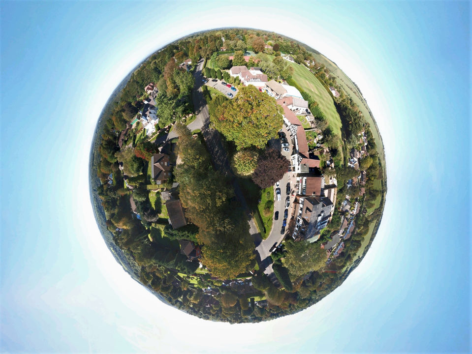
Capture HD aerial imaging of your Real Estate project or portfolio and uplift your marketing material, capture surveying and roofing images to save money and time and view and monitor construction projects. RLL Aerial Imaging offers you stunning aerial photography delivered quickly and professionally
I also offer Interior and Exterior Real Estate photography if required
AERIAL SURVEYING
RLL Aerial Imaging specialises in surveying and capturing images of inaccessible structures such as roofs, chimneys and the outside surface of any tall structure. We will perform aerial surveys for land development, building surveys , insurance surveys and mapping of large areas of property.
We can also track building projects over time for Architects and reporting using images captured from the same exact location


02
ABOUT
Aerial Photography, Video and Editing
Acquire the unique perspective of height for your project
RLL AERIAL IMAGING is based in the Surrey Hills and is dedicated to giving our customers an exceptional experience and outstanding results. Our drone pilot has Civil Aviation Authority (CAA) approved permissions and we hold a current CAA GVC Specific Catagory licence and are fully insured. Safety is always the No 1 priority and we comply with all legal requirements and best practice at all times.
Using our fleet of 3 Drones we are able to provide stunning images and broadcast quality 4k video for our customers projects. The benefit of the latest Drone platforms is that with available height of 400feet and a maximum lateral distance of 500m we can give you a unique perspective for your images previously only available through using a helicopter and a photographer as a passenger. If you are a surveyor , roofing contractor , construction company or insurance assessor then both time and money can be saved by avoiding the use of scaffolding or cranes to view buildings and roofs at height, not to mention the safety aspect by not having to send a person to scale the building. Architects and stakeholders can manage building projects over time from desired aerial views. The Drone platform also offer unique and industry fast solutions for area mapping surveying.
I operate as a one man team and having spent 20+ years working for many Corporate customers give Customer Service my highest priority. I am based in the South East but I can travel anywhere in the country and would be delighted to discuss all requirements.
Please do look through this website where you will discover what we can do and how the process works and see some of the images already taken for various projects
RLL AERIAL IMAGING is proud to work with the following companies.


.png)

.png)


